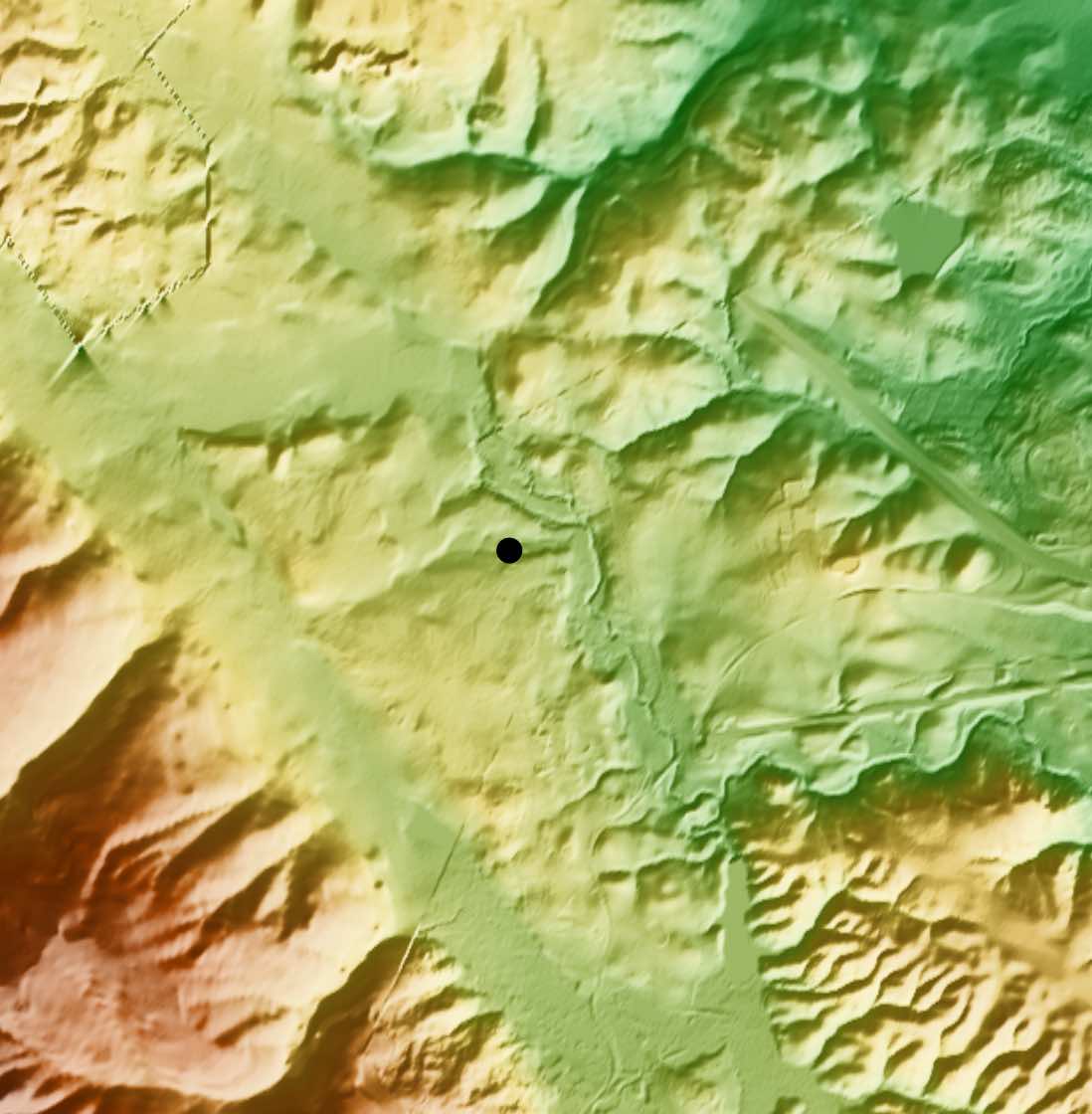
Model your antenna performance over actual terrain using high resolution elevation data
K6TU.NET maintains a database of high-resolution data for most of the world. You can access this database using the K6TU.NET Terrain Profile service.
Generate profile information for use with the ARRL HF Terrain Assessment tool for modeling horizontally polarized antennas.