Global Terrain Data


K6TU.NET uses elevation data from the USGS (NED) and the joint project between NASA, Japan METI, Japan Spaces Systems (ASTER) to generate terrain profiles.

You can generate a terrain profile for any location between longitude 83S and 82N within 2 minutes. Use the terrain profile with the ARRL HFTA program to model horizontal antennas over actual terrain.

HF Terrain Assessment

HFTA uses terrain profiles to evaluate the impact of terrain on your horizontal antenna performance.

K6TU.NET provides the terrain profile data and also a utility (HFTASweep) to use HFTA to generate a terrain specific antenna file for use in propagation predictions.

Antenna files in predictions

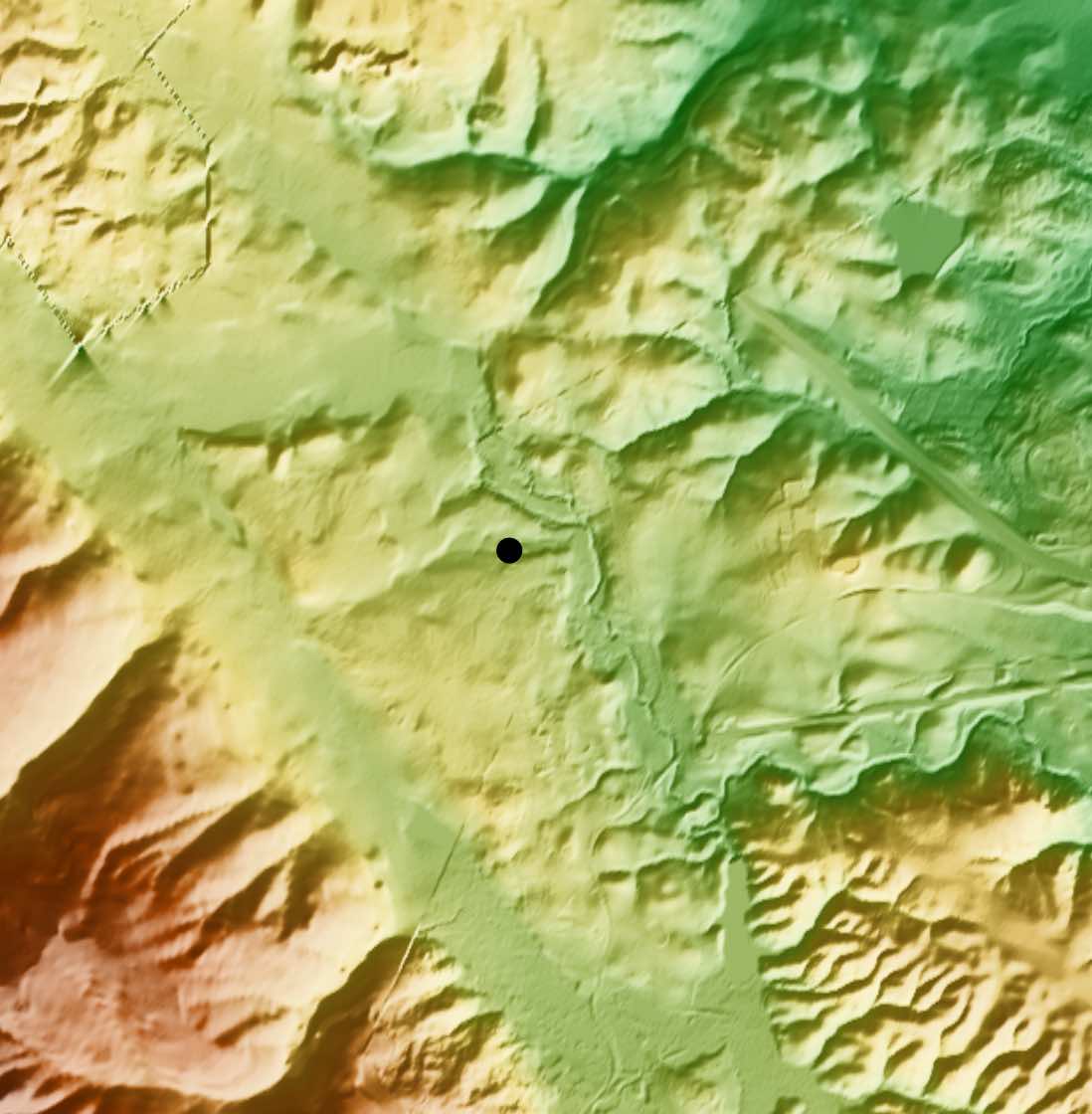
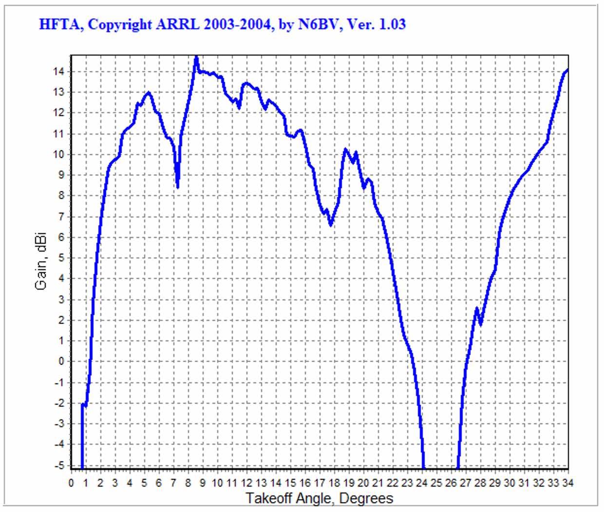
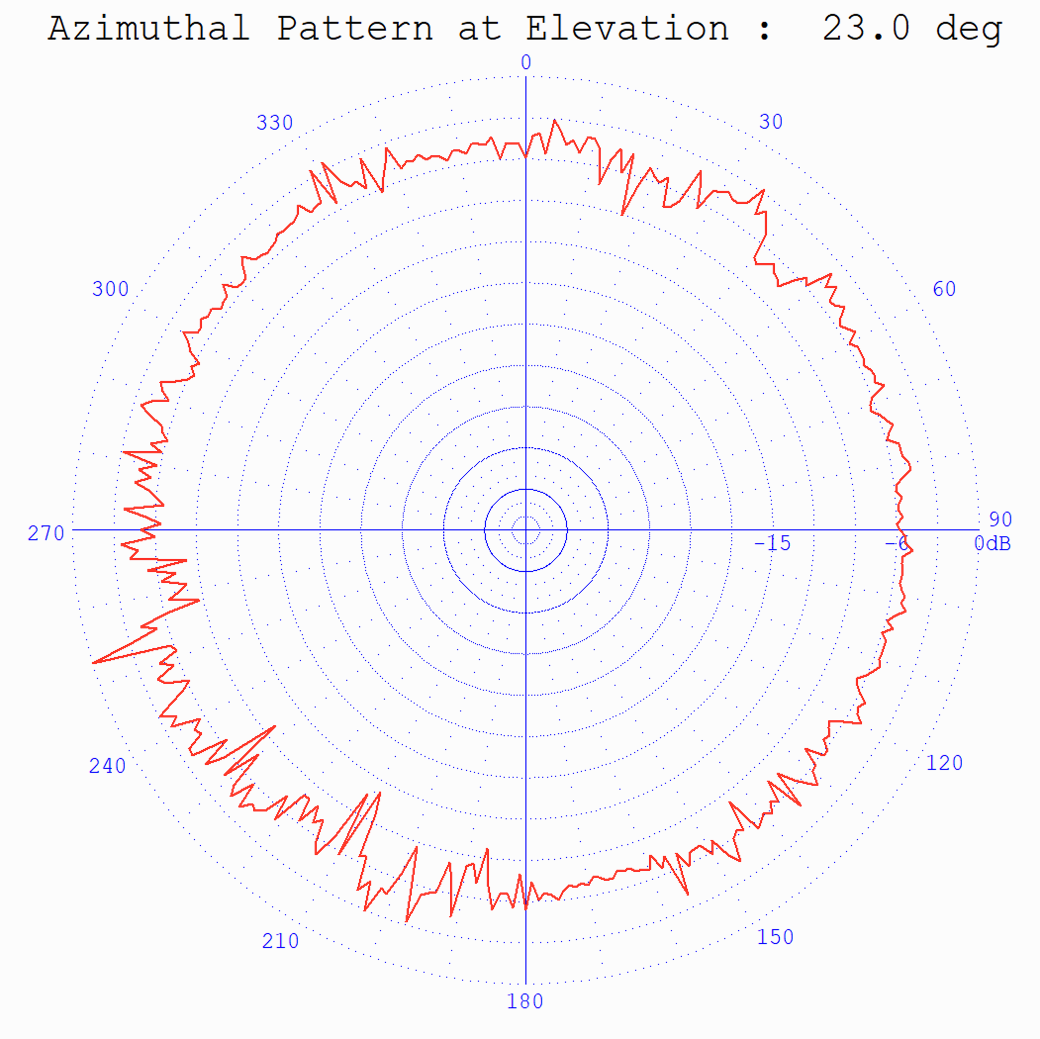
HFTASweep uses HFTA to generate a full azimuth/elevation model of your horizontal antennas over the terrain at your QTH.

Upload these files to K6TU,NET and include them in your predictions using the Advanced Station Configuration.

In combination with the propagation prediction engine, this gives you the best predictions available – anywhere!

Login or Register

See why many of the world’s serious Contesters and DX’ers trust K6TU.NET to deliver the competitive edge they need.

Registration for K6TU.NET is free!